SACRAMENTO — Caltrans QuickMap has added more information to assist drivers with avoiding slow traffic, road closures, highway incidents, and other travel issues. Waze™ app data layers can now be launched from within QuickMap, giving users even more travel information options while using QuickMap.
“We’re always looking at ways to integrate new technologies and innovations into bettering our traffic management strategies,” said Caltrans Director Malcolm Dougherty. “This partnership with Waze™ gives motorists even more options to make informed decisions before traveling, and that’s important for making travel easier and safer for all of us.”
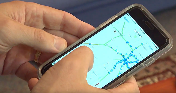
QuickMap users can now select to add the Waze™ layers to either the mobile or desktop version of the application, allowing access to information about highway incidents, road conditions and other roadway events reported by Waze™ users (called Wazers). This feature joins QuickMap’s current features, which display traffic speed, road closures, California Highway Patrol incidents, chain controls, fire locations, electronic highway sign messages, and live traffic cameras. This data help provides real-time travel information on California’s roadways provided by Caltrans’ QuickMap (http://quickmap.dot.ca.gov/). Together, both apps benefit through more data and a thorough overview of road conditions, giving drivers more power to plan their commutes and trips.
QuickMap was launched online in 2011, with an Android app released in August of last year and an iOS version in January. A Caltrans News Flash on QuickMap and Waze™ can be viewed at: www.dot.ca.gov/paffairs/newsflash/
The QuickMap app is available by searching “Caltrans” in Apple’s “App Store” and in Android’s “Google Play Store.” It is also available online at http://quickmap.dot.ca.gov/.